The 7.4 Richter Magnitude (Skala Richter) of earthquake impacts to Palu, Sigi, and Donggala cities in, South East Sulawesi (Sulawesi Tenggara). According to BBC News (8-Oct), 1,754 dead, another 2,549 injured and 683 people remain missing. To contribute in Palu Post-Disaster management,Center for Remote Sensing in collaboration with Asian Institute Technology (AIT) Thailand and National Space Agency (LAPAN) create a quick response team to publish latest condition of damaged area. Until today, we have published 25 maps. The map is expected to give insight for decision making.
The map can be accessed on the link below:
Pusfatja Lapan for Map Sevice and Dataset download link
Pre and Post Disaster of Liquification Area (detail below) download link
1. Pre-Disaster of Balaroa Area, Palu City
2. Post-Disaster of Balaroa Area, Palu City
3. Pre-Disaster of Petobo Area, Palu City
4. Post-Disaster of Petobo Area, Palu City
5. Pre-Disaster of Jonooge Area, Sigi District
6. Post Disaster of Jonooge Area, Sigi District
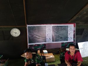
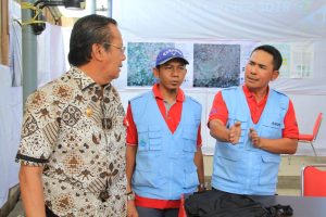
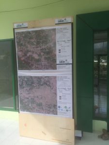
There are few photos of the maps those are used in the field:

(TNI Disaster Post, Palu)

(PT. POSO ENERGY DAN PT. BUKAKA Post)

(Al-Azhar Disaster Volunteers Post)
